Today, we officially started off this new activity. At 7 am, six of us and Mr Lockwood decided to meet up at school to do a trial walk around the Talangama Area.


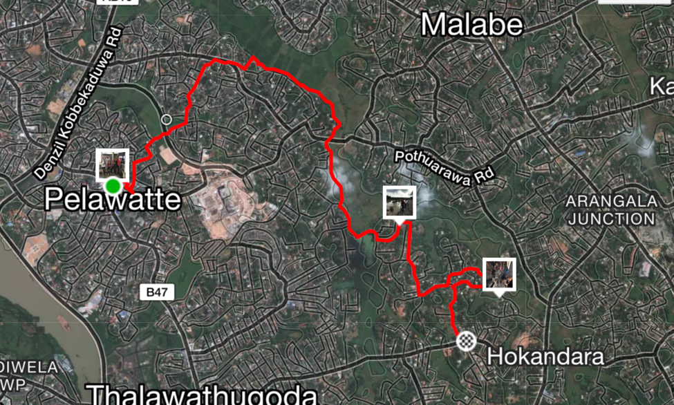
Our walk consisted of many different terrains: main roads, streets, trails and even the mushy wetlands. The walk was around 2 hours long over the distance of 7.4km and this was our trail:


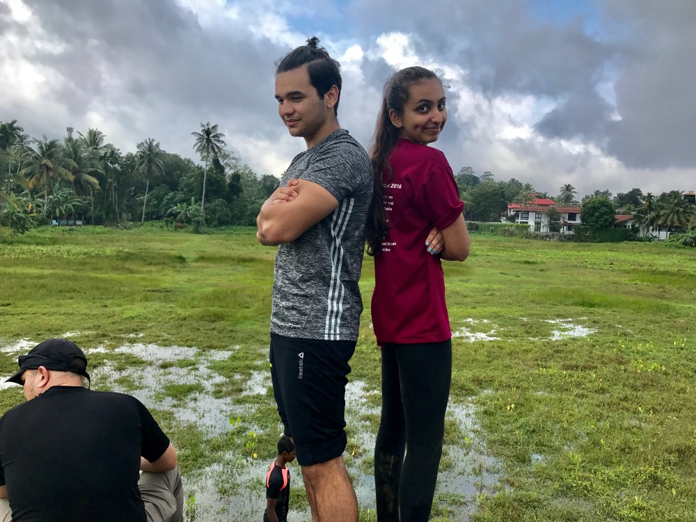
Before and after the walk:


How and Why it started
In 11th grade, during our Geography IA trip Adrian and I really wanted to hike up to Sinagala and this wasn’t possible due to time constraints and other logistical reasons. We were really bummed about it and started talking about the possibility of coming here again. At the same time, I knew I wanted to climb to Kirigalapotha again before I graduate and left Sri Lanka. So at the beginning of this year, as soon as Mr Lockwood mentioned the possibility of ding something along the lines of this, I was in and ready to get involved because I really wanted to make this happen.
Plans for the Future
As for this activity, we plan to go on multiple hikes throughout the year. We want to document these hikes using ‘Strava’ and videos/photos to then later create a video for each hike/trip. Adrian, my co-leader is also working to create a logo for this group which will then be used in videos and other things associated with this group. We have had a small group of 16 students sign up and we’re looking forward to an eventful year with many hikes!
Hopefully this is just the beginning of OTG and that it will be further developed and made bigger in the coming years here at OSC.
Our next hike (and and overnight trip!) is very soon and coming up for the 30th of September. For this hike, we are looking to go off to The Sinharaja Rainforest where we’l be staying at Martins Lodge (where we went for our Geography IA trip). We are looking to take 8 students to do two hikes (one of them heavily depends on weather). The peak we aim to do is Sinhagala which is a 12 km hike up to a peak, and then second peak is the Mulawella Peak which is a relatively shorter hike of 2.4km (we climbed this during our Geo IA trip). This is a good trip to start off with because it is something I am fairly familiar with.